Using GPS Data to Determine Fault in Motor Vehicle Collisions

As personal injury lawyers we use many tools to determine who is at fault in motor vehicle collisions. We have witnesses interviewed. We question the involved drivers. We hire engineers to “reconstruct” collisions. In the last few years, we have also started to use GPS data to piece together what happened in a motor vehicle collision.
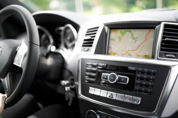
The GPS or Global Positioning System is a space-based satellite navigation system. It can be used to track the position and movement of anyone or any vehicle equipped with a GPS receiver. Many modern cars have built in GPS receivers. Many drivers use portable GPS navigation devices like the Garmin and TomTom. GPS is built into smartphones and smart-watches.
If a driver is using a GPS device at the time of a collision the data on the device can tell us where the driver was and how fast he or she was driving. This data can be accessed by computer forensic experts and can be extraordinarily valuable evidence in the Courtroom.
Drive safe – your smartphone is watching you.
Contributors

Troy Lehman joined Oatley Vigmond in 2006 and became a partner in 2010. As a personal injury lawyer, his greatest satisfaction comes from helping people through to the other side of a difficult time in their lives. “We’re here to help and relieve stress,” Troy says. “When I walk into a first meeting with a client, people are often scared and anxious. And for me, the best thing that can happen at the end of the meeting is that they say, ‘I feel so much better.’
